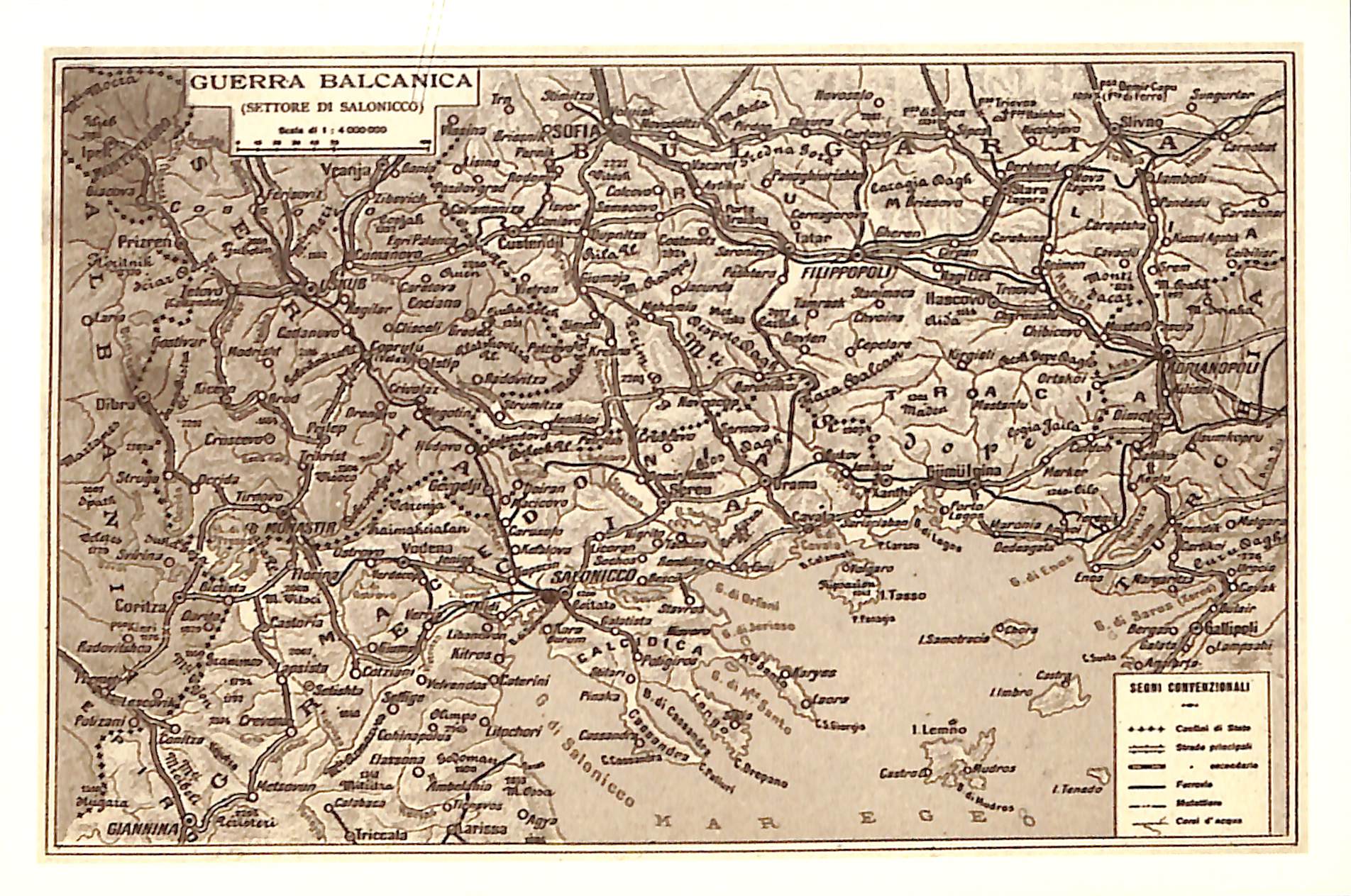
Map showing the borders of Greece, Serbia, Bulgaria and the Ottoman Empire, as they were drawn after the end of the Second Balkan War in 1913
Maps
ShareTitle
Map showing the borders of Greece, Serbia, Bulgaria and the Ottoman Empire, as they were drawn after the end of the Second Balkan War in 1913
Contributor
The Photography Museum ''Christos Kalemkeris'' of the Municipality of Kalamaria
Format
JPG
Language
gre
License
https://creativecommons.org/licenses/by-nc/4.0/
Geographical Coverage
Balkan Peninsula
Time Coverage
Reign of King George I
Digitization Date
December 2023
Subject
Maps
Rights Holder
The Photography Museum ''Christos Kalemkeris'' of the Municipality of Kalamaria