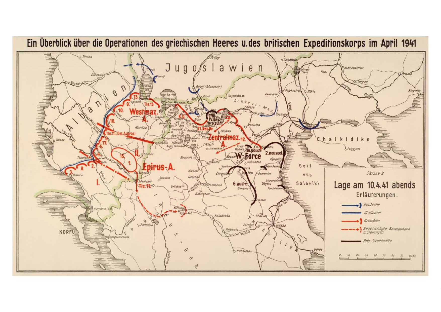
German map showing the positions of the Greek army and the British expeditionary force in northern Greece on April 10, 1941, after the occupation of Thessaloniki by the Germans
Map
ShareTitle
German map showing the positions of the Greek army and the British expeditionary force in northern Greece on April 10, 1941, after the occupation of Thessaloniki by the Germans
Contributor
The Photography Museum ''Christos Kalemkeris'' of the Municipality of Kalamaria
Format
JPG
Language
ger
License
https://creativecommons.org/licenses/by-nc/4.0/deed.el
Geographical Coverage
Balkan Peninsula
Time Coverage
World War II
Digitization Date
Unknown
Subject
Map
Rights Holder
The Photography Museum ''Christos Kalemkeris'' of the Municipality of Kalamaria
