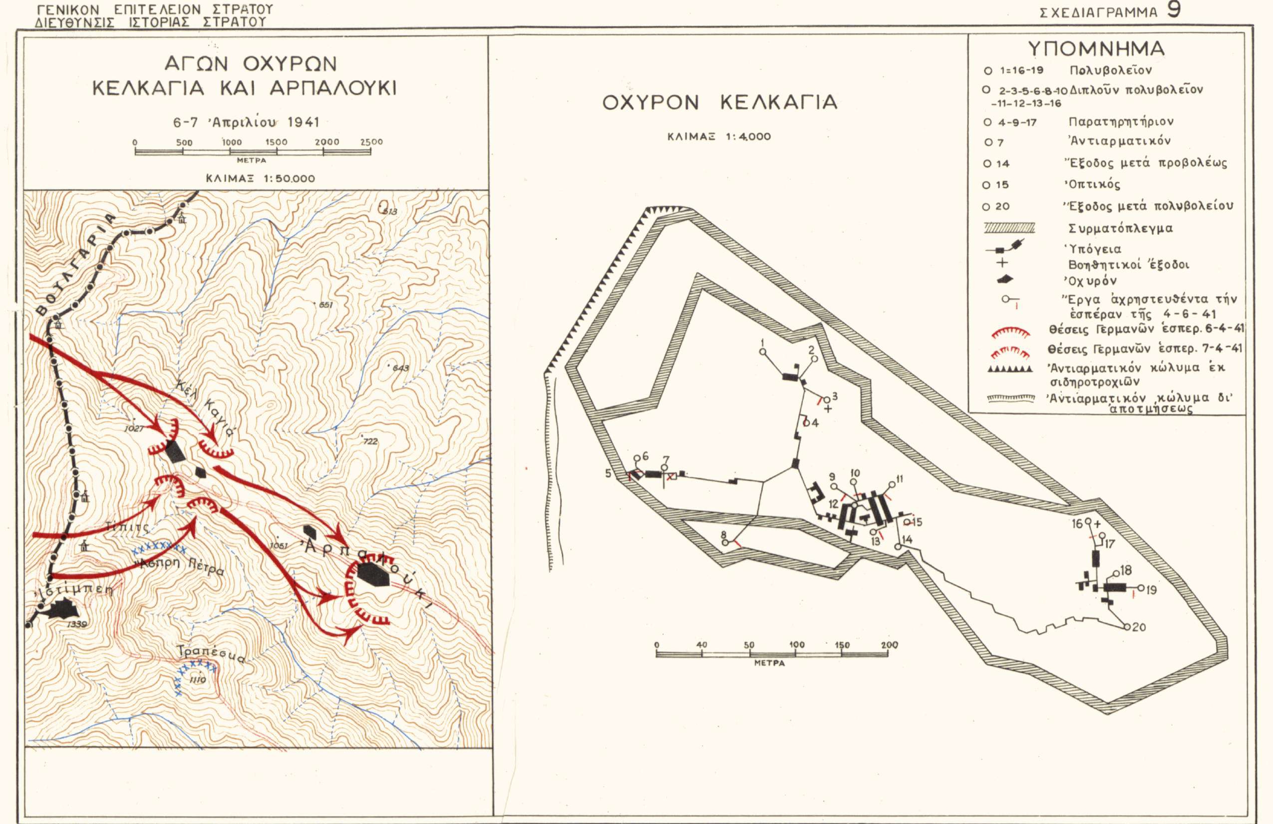
Map showing the movements of the German army against the forts of Kelkagia and Arpalouki between April 6-7, 1941. On the right, the ground plan of Fort Kelkagia
Φωτ: Directorate of Army HistoryDirectorate of Army History
Map
ShareTitle
Map showing the movements of the German army against the forts of Kelkagia and Arpalouki between April 6-7, 1941. On the right, the ground plan of Fort Kelkagia
Contributor
The Photography Museum ''Christos Kalemkeris'' of the Municipality of Kalamaria
Creator
Διεύθυνση Ιστορίας Στρατού Directorate of Army History
Format
Language
License
Geographical Coverage
Time Coverage
Digitization Date
Unknown
Subject
Map
Rights Holder
The Photography Museum ''Christos Kalemkeris'' of the Municipality of Kalamaria
