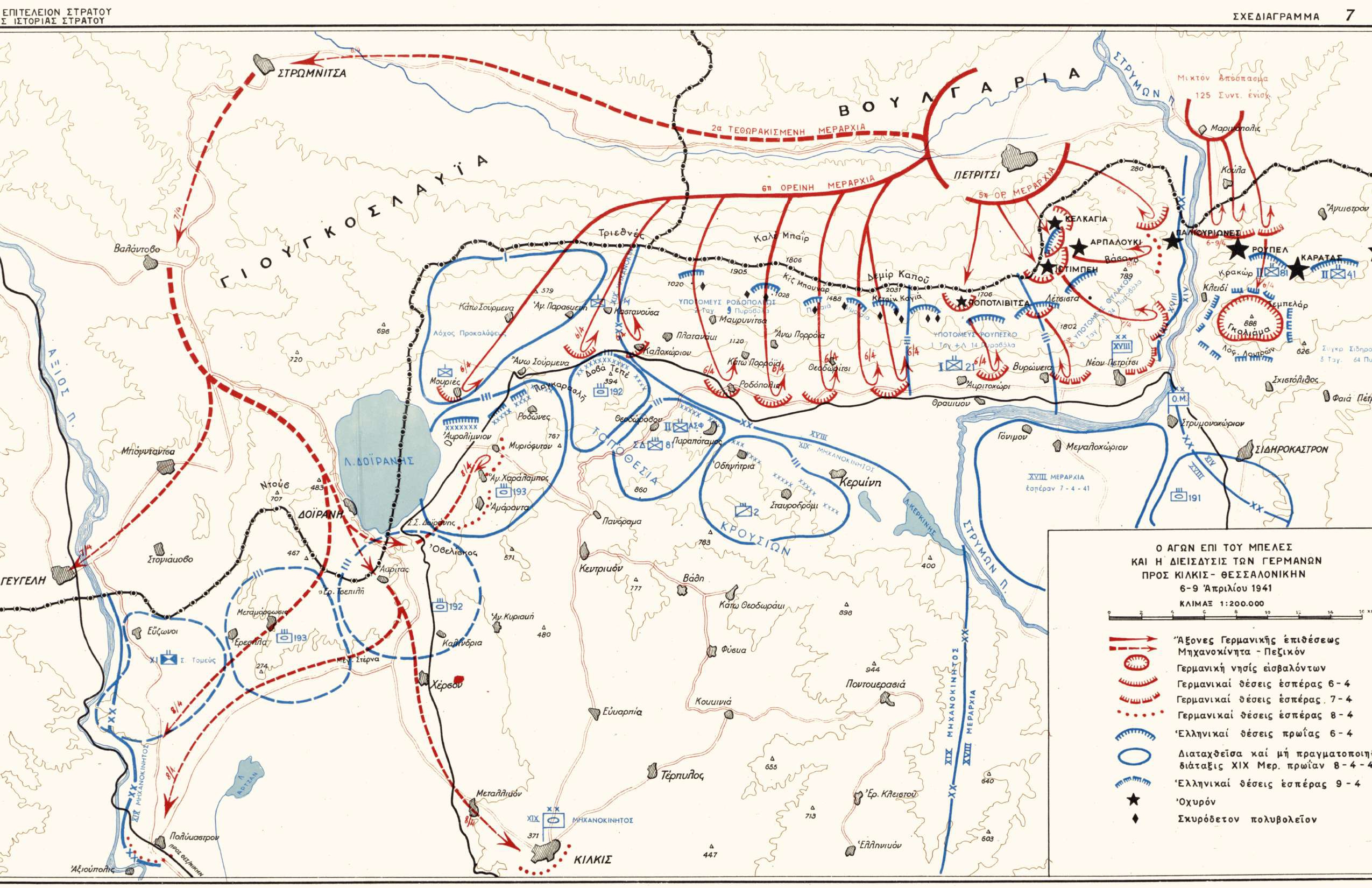
Map of the greater area of Mountain Belles, showing the positions of the Greek and German forces on the eve of the German invasion
Φωτ: Directorate of Army HistoryDirectorate of Army History
Map
ShareTitle
Map of the greater area of Mountain Belles, showing the positions of the Greek and German forces on the eve of the German invasion
Contributor
The Photography Museum ''Christos Kalemkeris'' of the Municipality of Kalamaria
Creator
Διεύθυνση Ιστορίας Στρατού Directorate of Army History
Format
Language
License
Geographical Coverage
Time Coverage
Digitization Date
Unknown
Subject
Map
Rights Holder
The Photography Museum ''Christos Kalemkeris'' of the Municipality of Kalamaria
