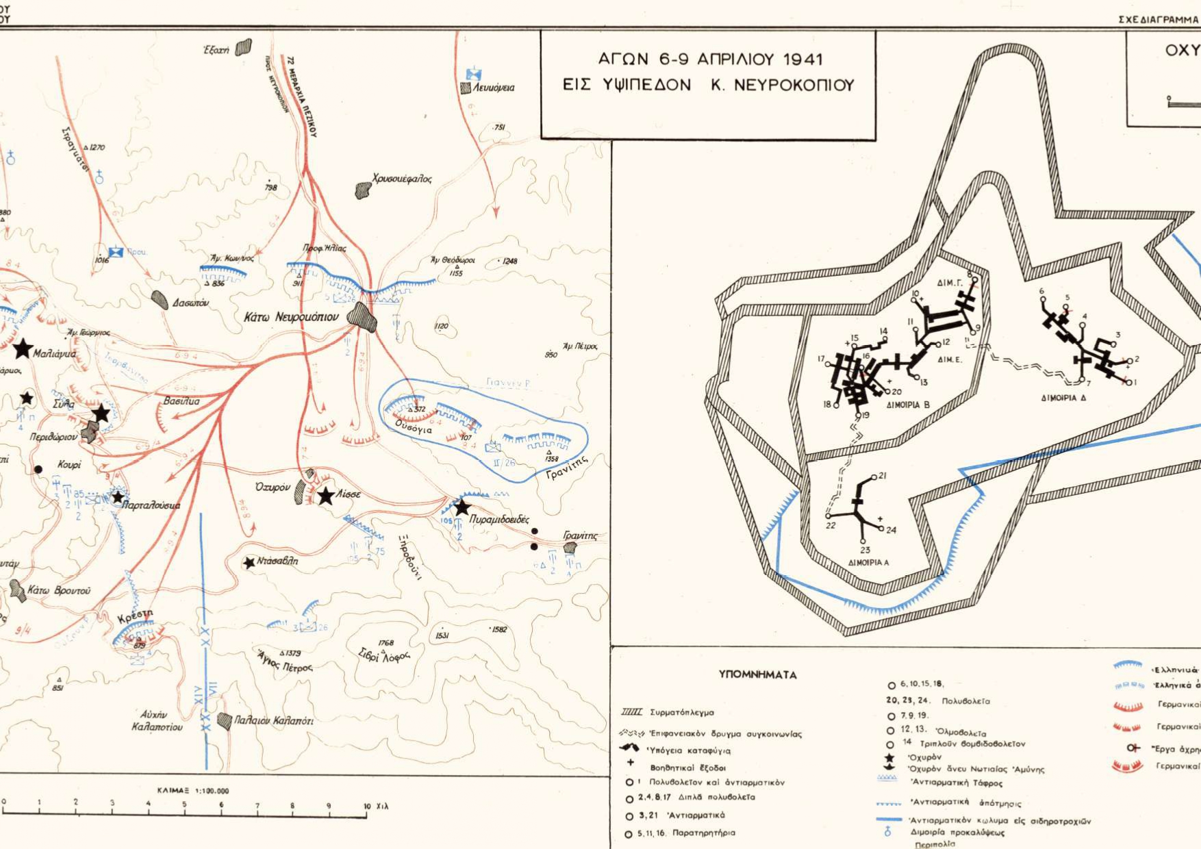
Map depicting the German attack on the Nefrokopi Hillside in Drama, between April 6-9, 1951. On the right the layout of the Fort of Perithori
Φωτ: Directorate of Army HistoryDirectorate of Army History
Map
ShareTitle
Map depicting the German attack on the Nefrokopi Hillside in Drama, between April 6-9, 1951. On the right the layout of the Fort of Perithori
Contributor
The Photography Museum ''Christos Kalemkeris'' of the Municipality of Kalamaria
Creator
Διεύθυνση Ιστορίας Στρατού Directorate of Army History
Format
Language
License
Geographical Coverage
Time Coverage
Digitization Date
Unknown
Subject
Map
Rights Holder
The Photography Museum ''Christos Kalemkeris'' of the Municipality of Kalamaria
