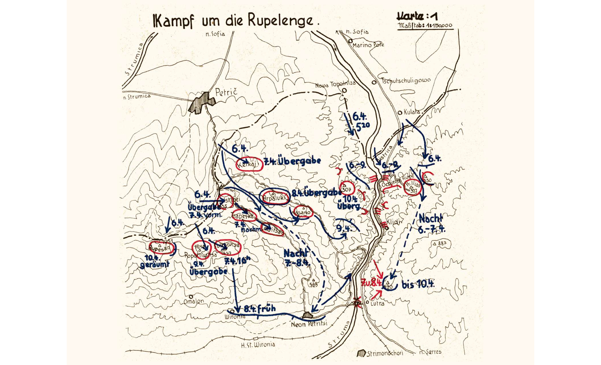
Operational map of the Germans in the Thylacos and Rοupesco subsectors of the Metaxas Line, during April 6-10, 1941
Map
ShareTitle
Operational map of the Germans in the Thylacos and Rοupesco subsectors of the Metaxas Line, during April 6-10, 1941
Contributor
The Photography Museum ''Christos Kalemkeris'' of the Municipality of Kalamaria
Format
JPG
Language
ger
License
https://creativecommons.org/licenses/by-nc/4.0/deed.el
Geographical Coverage
Region of Serres, Central Macedonia, Greece
Time Coverage
World War II
Digitization Date
Unknown
Subject
Map
Rights Holder
The Photography Museum ''Christos Kalemkeris'' of the Municipality of Kalamaria